
The wild territory of Shiretoko in Hokkaido
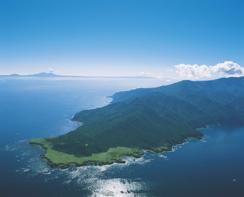
The peninsula is made up of steep mountains at an altitude of around 1500 meters, large lakes, swamps, gigantic cliffs overlooking the sea, virgin rivers and forests. Shiretoko National Park is registered the World National Heritage in 2005, is an area of over 70,000 hectares offering a wide variety of landscapes to explore.
Easier to access, the southwest of the peninsula is made up of a totally different landscape. The sites of interest are located by the sea or steep cliffs that can rise to over 200 meters are surrounded by a panorama similar to the Nordic countries such as Iceland or the Faroe Islands. A must see in these placesis Furape no taki (Furape waterfall, the icefalls), which in winter form magnificent columns of ice on the frozen sea.
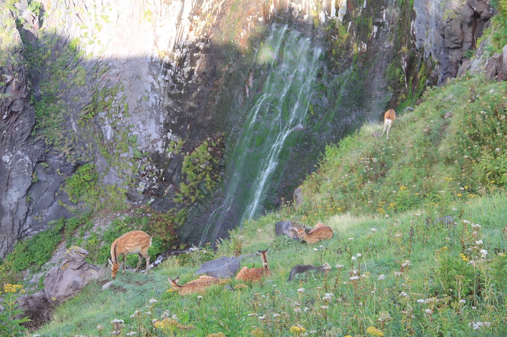
Ezo deer near Furepe Waterfall ENSO ANGO
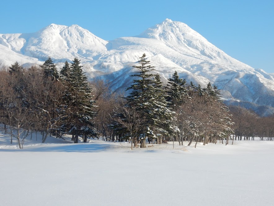
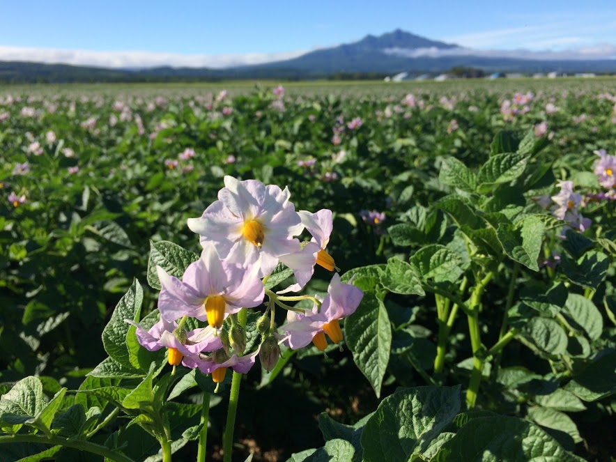
North of the peninsula stands one of Japan's 100 most famous mountains, Mount Rausu, a volcano with an altitude of more than 1,600 meters. You can enjoy hiking around the mountain, there beautiful treks surrounded (requires certain physical actibity level) as well as admiring the virgin forest and a different mountain flora each season near the Rausu lake.
 Comme dans d'autres régions du nord du Japon (Aomori, Akita), Shiretoko possède son propre nebuta matsuri durant lequel on fait défilé de gigantesques lanternes à travers les rues de la ville à la nuit tombée.
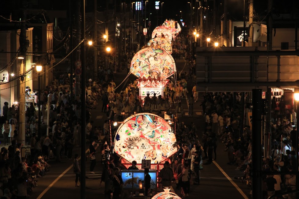
Discover our guided tours in northern Japan and participate in the finest festivals!